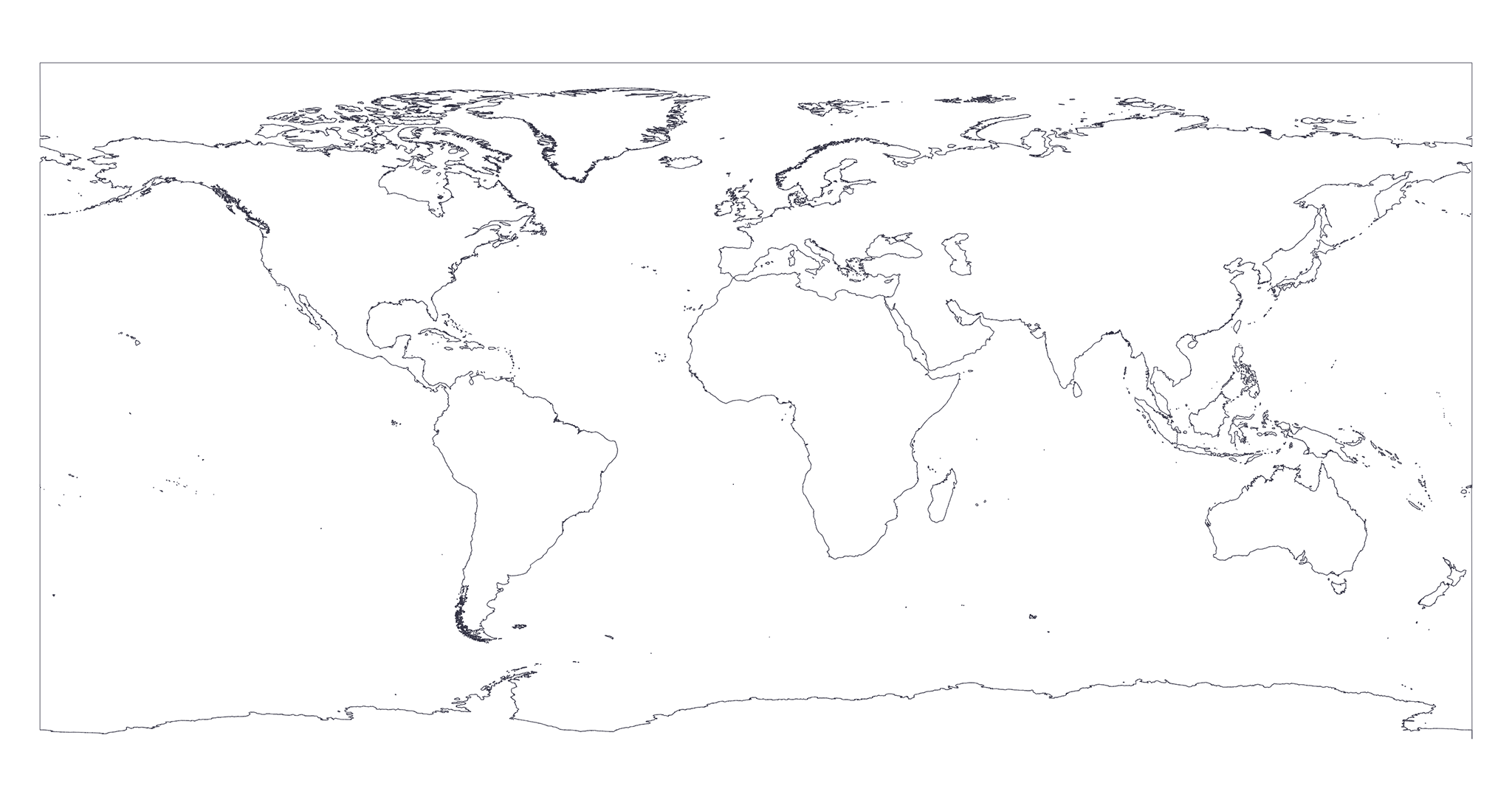
To export these maps we first wait earth-coastlines map to be generated.
Then we create a rectangle of the bounds of the earth using mapshaper rectangle
feature and then we substract from the rectangle the earth-coastlines map using mapshaper's erase feature.
Finally we apply the Douglas-Peucker algorithm with different resolutions using mapshaper's simplify feature.
You can find the source code of the exportation process here.
Below you can find references to all the resolutions available for this kind of map.
Click on badges to interact with them.
| Resolution | Preview | Size | GH Downloads | NPM Downloads |
|---|---|---|---|---|
|
|
|

|

|

|
|
|
|

|

|

|
|
|
|

|

|

|
|
|
|

|

|

|
|
|
|

|

|

|
|
|
|

|

|

|
|
|
|

|

|

|
|
|
|

|

|

|
|
|
|

|

|

|
|
|
|

|

|

|
|
|
|

|

|

|
|
|
|

|

|

|
|
|
|

|

|

|